Kenilworth: new and old near the Castle
Introduction
The photograph on this page of Kenilworth: new and old near the Castle by John Sutton as part of the Geograph project.
The Geograph project started in 2005 with the aim of publishing, organising and preserving representative images for every square kilometre of Great Britain, Ireland and the Isle of Man.

There are currently over 7.5m images from over 14,400 individuals and you can help contribute to the project by visiting https://www.geograph.org.uk
Kenilworth: new and old near the Castle
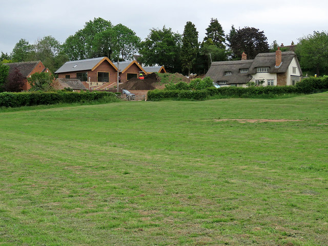
Image: © John Sutton Taken: 4 Jun 2019
The houses are on Purlieu Lane. The 16th- or 17th-century thatched house is Grade II listed.
Images are licensed for reuse under creativecommons.org/licenses/by-sa/2.0
Image Location
Latitude
52.349063
Longitude
-1.594037