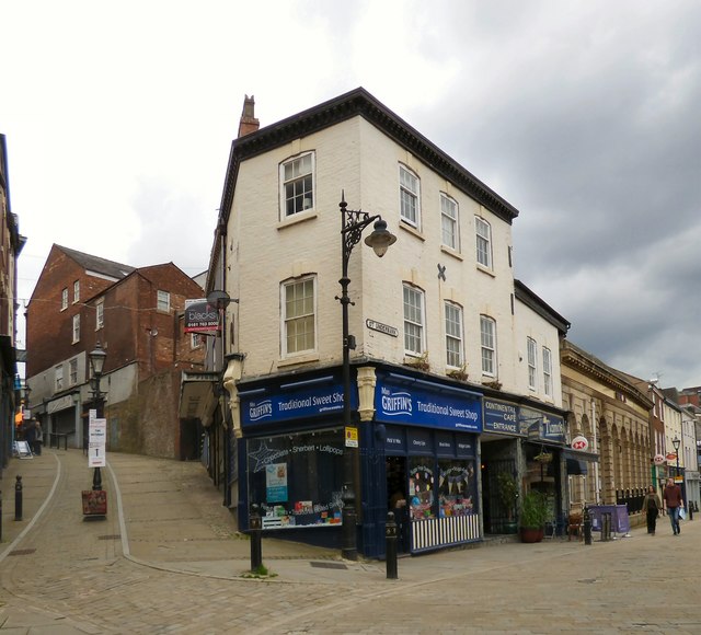
Corner of Bridge Street and Great Underbank
Introduction
The photograph on this page of Corner of Bridge Street and Great Underbank by Gerald England as part of the Geograph project.
The Geograph project started in 2005 with the aim of publishing, organising and preserving representative images for every square kilometre of Great Britain, Ireland and the Isle of Man.
There are currently over 7.5m images from over 14,400 individuals and you can help contribute to the project by visiting https://www.geograph.org.uk

Image: © Gerald England Taken: 18 May 2019
The grade II listed building https://historicengland.org.uk/listing/the-list/list-entry/1162370 on the corner was Boots the Chemists until the 1970s. In more recent years (2013) it has been Mr Simms Olde Sweet Shoppe Image which in 2015 became the Eat Me Sweet Shop Image and then in 2018 Mrs Benson's Sweet Shop Image Now it is called Mrs Griffin's Traditional Sweet Shop. Bridge Street was once the main north-south route through the centre of Stockport leading here to the Market Place.

