Maenclochog
Introduction
The photograph on this page of Maenclochog by Nigel Davies as part of the Geograph project.
The Geograph project started in 2005 with the aim of publishing, organising and preserving representative images for every square kilometre of Great Britain, Ireland and the Isle of Man.

There are currently over 7.5m images from over 14,400 individuals and you can help contribute to the project by visiting https://www.geograph.org.uk
Maenclochog
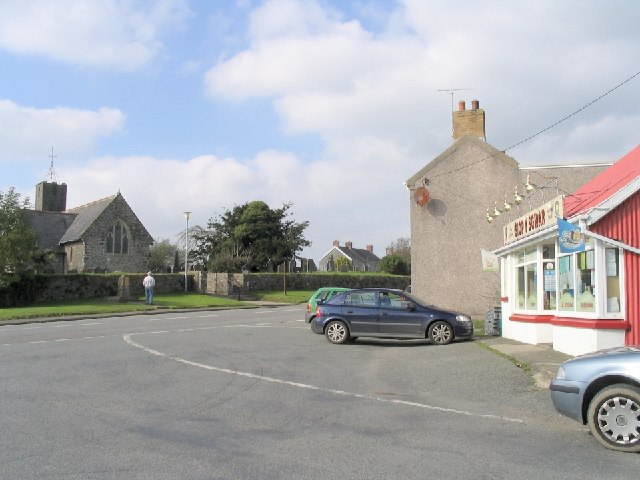
Image: © Nigel Davies Taken: 5 Oct 2005
Visible are a distinctive red shop and the church in the village centre.
Images are licensed for reuse under creativecommons.org/licenses/by-sa/2.0
Image Location


Leaflet Map data © OpenStreetMap
Latitude
51.911155
Longitude
-4.788477