Route from Pipers Lane to Willow Bank, Robertsbridge
Introduction
The photograph on this page of Route from Pipers Lane to Willow Bank, Robertsbridge by Patrick Roper as part of the Geograph project.
The Geograph project started in 2005 with the aim of publishing, organising and preserving representative images for every square kilometre of Great Britain, Ireland and the Isle of Man.

There are currently over 7.5m images from over 14,400 individuals and you can help contribute to the project by visiting https://www.geograph.org.uk
Route from Pipers Lane to Willow Bank, Robertsbridge
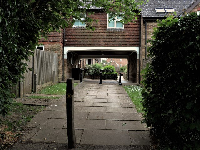
Image: © Patrick Roper Taken: 31 May 2019
Note the public footpath sign on the post in the foreground.
Images are licensed for reuse under creativecommons.org/licenses/by-sa/2.0
Image Location
Latitude
50.984434
Longitude
0.473173