Rough grassland by A40, Monmouthshire
Introduction
The photograph on this page of Rough grassland by A40, Monmouthshire by M J Roscoe as part of the Geograph project.
The Geograph project started in 2005 with the aim of publishing, organising and preserving representative images for every square kilometre of Great Britain, Ireland and the Isle of Man.

There are currently over 7.5m images from over 14,400 individuals and you can help contribute to the project by visiting https://www.geograph.org.uk
Rough grassland by A40, Monmouthshire
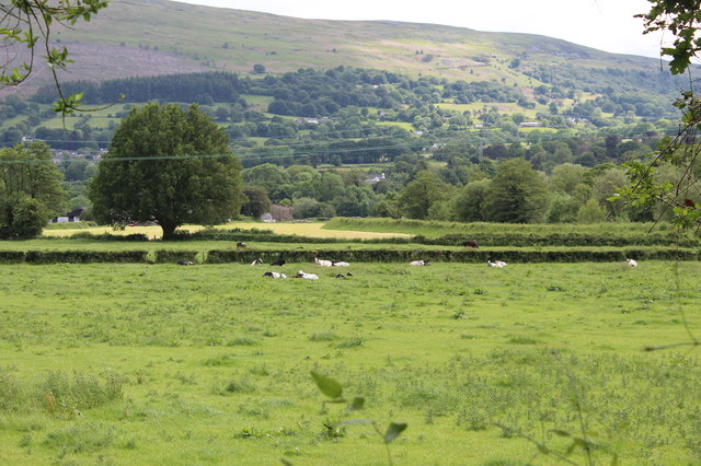
Image: © M J Roscoe Taken: 3 Jun 2019
Cows chewing the cud in a field on the northern side of the A40. In the centre right is the levee on the left bank of the River Usk. The flank of the Blorenge is in the background.
Images are licensed for reuse under creativecommons.org/licenses/by-sa/2.0
Image Location
Latitude
51.834458
Longitude
-3.074193