Port Talbot Docks
Introduction
The photograph on this page of Port Talbot Docks by Eirian Evans as part of the Geograph project.
The Geograph project started in 2005 with the aim of publishing, organising and preserving representative images for every square kilometre of Great Britain, Ireland and the Isle of Man.

There are currently over 7.5m images from over 14,400 individuals and you can help contribute to the project by visiting https://www.geograph.org.uk
Port Talbot Docks
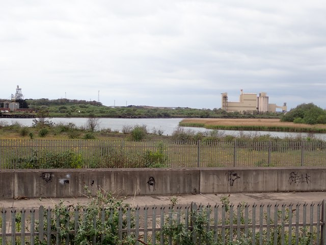
Image: © Eirian Evans Taken: 6 May 2019
The docks are used by Port Talbot steelworks for the export of steel products and the import of raw materials for manufacturing steel, with cargoes of coal, iron ore, sand, cement, and processed and granulated slag.
Images are licensed for reuse under creativecommons.org/licenses/by-sa/2.0
Image Location
Latitude
51.585011
Longitude
-3.778742