Meadow at Nottington
Introduction
The photograph on this page of Meadow at Nottington by Des Blenkinsopp as part of the Geograph project.
The Geograph project started in 2005 with the aim of publishing, organising and preserving representative images for every square kilometre of Great Britain, Ireland and the Isle of Man.

There are currently over 7.5m images from over 14,400 individuals and you can help contribute to the project by visiting https://www.geograph.org.uk
Meadow at Nottington
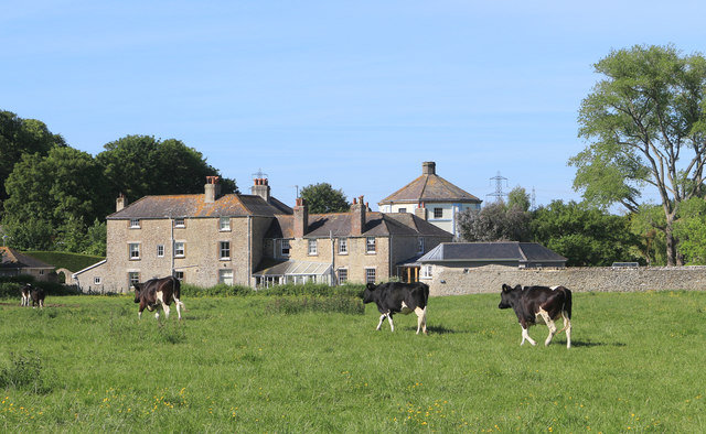
Image: © Des Blenkinsopp Taken: 1 Jun 2019
Water meadow between two branches of the River Wey. The octagonal pump room of the former Nottington Spa is in the background.
Images are licensed for reuse under creativecommons.org/licenses/by-sa/2.0
Image Location
Latitude
50.644001
Longitude
-2.476562