Linton houses [13]
Introduction
The photograph on this page of Linton houses [13] by Michael Dibb as part of the Geograph project.
The Geograph project started in 2005 with the aim of publishing, organising and preserving representative images for every square kilometre of Great Britain, Ireland and the Isle of Man.

There are currently over 7.5m images from over 14,400 individuals and you can help contribute to the project by visiting https://www.geograph.org.uk
Linton houses [13]
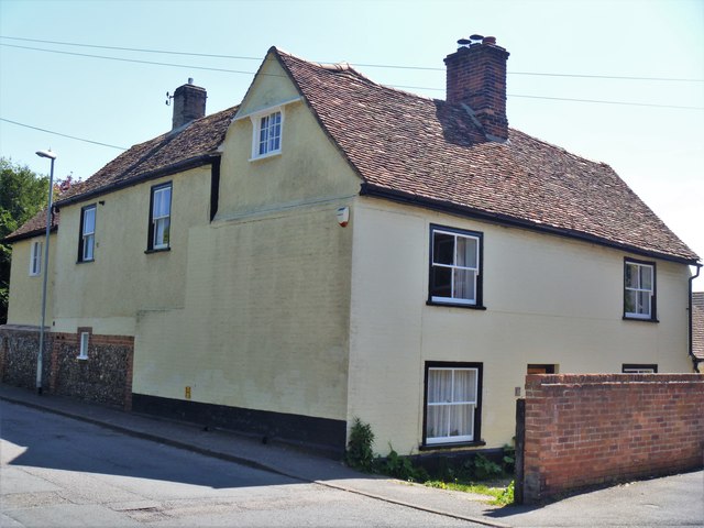
Image: © Michael Dibb Taken: 14 May 2019
Formerly a farmhouse, number 18 Bartlow Road is early 17th century timber framed with a 19th century brick casing and rear extension. Listed, grade II, with details at: https://historicengland.org.uk/listing/the-list/list-entry/1331143
Images are licensed for reuse under creativecommons.org/licenses/by-sa/2.0
Image Location
Latitude
52.096976
Longitude
0.287064