Northwest on Cape Road, the Cape, Warwick
Introduction
The photograph on this page of Northwest on Cape Road, the Cape, Warwick by Robin Stott as part of the Geograph project.
The Geograph project started in 2005 with the aim of publishing, organising and preserving representative images for every square kilometre of Great Britain, Ireland and the Isle of Man.

There are currently over 7.5m images from over 14,400 individuals and you can help contribute to the project by visiting https://www.geograph.org.uk
Northwest on Cape Road, the Cape, Warwick
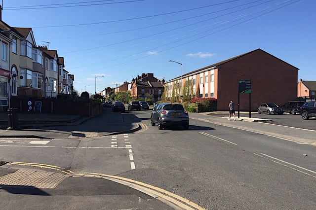
Image: © Robin Stott Taken: 10 Apr 2019
Cape Road appears to have been a route from Warwick Castle to its northern deer park at Wedgnock. Today it is a busy suburban road connecting mixed housing, assorted businesses, a few shops, allotments, GP practices and a secure mental hospital. The view is from the corner of Hanworth Road.
Images are licensed for reuse under creativecommons.org/licenses/by-sa/2.0
Image Location
Latitude
52.290092
Longitude
-1.595603