Barley field and lone oak tree
Introduction
The photograph on this page of Barley field and lone oak tree by Simon Mortimer as part of the Geograph project.
The Geograph project started in 2005 with the aim of publishing, organising and preserving representative images for every square kilometre of Great Britain, Ireland and the Isle of Man.

There are currently over 7.5m images from over 14,400 individuals and you can help contribute to the project by visiting https://www.geograph.org.uk
Barley field and lone oak tree
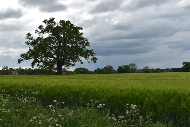
Image: © Simon Mortimer Taken: 27 May 2019
Looking north-west from the A1071 near Norman's Farm. The oak tree stands on the line of a former field boundary, lost when three fields were amalgamated to create the current 12 hectare field.
Images are licensed for reuse under creativecommons.org/licenses/by-sa/2.0
Image Location
Latitude
52.056584
Longitude
1.014999