Pipers Cottage at St. Catherine's, Robertsbridge
Introduction
The photograph on this page of Pipers Cottage at St. Catherine's, Robertsbridge by Patrick Roper as part of the Geograph project.
The Geograph project started in 2005 with the aim of publishing, organising and preserving representative images for every square kilometre of Great Britain, Ireland and the Isle of Man.

There are currently over 7.5m images from over 14,400 individuals and you can help contribute to the project by visiting https://www.geograph.org.uk
Pipers Cottage at St. Catherine's, Robertsbridge
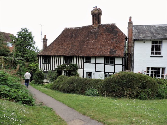
Image: © Patrick Roper Taken: 31 May 2019
A Grade II Listed Building just off Robertsbridge High Street. The path is the start of Pipers lane
Images are licensed for reuse under creativecommons.org/licenses/by-sa/2.0
Image Location
Latitude
50.984587
Longitude
0.474464