Swingate, Swingate
Introduction
The photograph on this page of Swingate, Swingate by Alan Murray-Rust as part of the Geograph project.
The Geograph project started in 2005 with the aim of publishing, organising and preserving representative images for every square kilometre of Great Britain, Ireland and the Isle of Man.

There are currently over 7.5m images from over 14,400 individuals and you can help contribute to the project by visiting https://www.geograph.org.uk
Swingate, Swingate
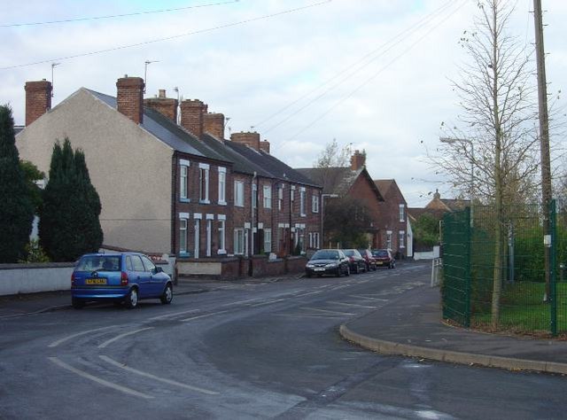
Image: © Alan Murray-Rust Taken: 11 Nov 2007
The community of Swingate takes its name from the original principal road, seen here, but has since expanded.
Images are licensed for reuse under creativecommons.org/licenses/by-sa/2.0
Image Location


Leaflet Map data © OpenStreetMap
Latitude
52.991266
Longitude
-1.254935