Coombe Lane at the junction of Canford Road
Introduction
The photograph on this page of Coombe Lane at the junction of Canford Road by David Howard as part of the Geograph project.
The Geograph project started in 2005 with the aim of publishing, organising and preserving representative images for every square kilometre of Great Britain, Ireland and the Isle of Man.

There are currently over 7.5m images from over 14,400 individuals and you can help contribute to the project by visiting https://www.geograph.org.uk
Coombe Lane at the junction of Canford Road
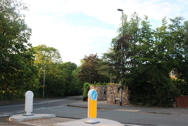
Image: © David Howard Taken: 1 Jun 2019
The island and built out kerbs were added since 2015. It does stop people cutting the corner and allows people to cross safely.
Images are licensed for reuse under creativecommons.org/licenses/by-sa/2.0
Image Location
Latitude
51.492366
Longitude
-2.638184