Park off Maxwell Road, Brompton
Introduction
The photograph on this page of Park off Maxwell Road, Brompton by Danny P Robinson as part of the Geograph project.
The Geograph project started in 2005 with the aim of publishing, organising and preserving representative images for every square kilometre of Great Britain, Ireland and the Isle of Man.

There are currently over 7.5m images from over 14,400 individuals and you can help contribute to the project by visiting https://www.geograph.org.uk
Park off Maxwell Road, Brompton
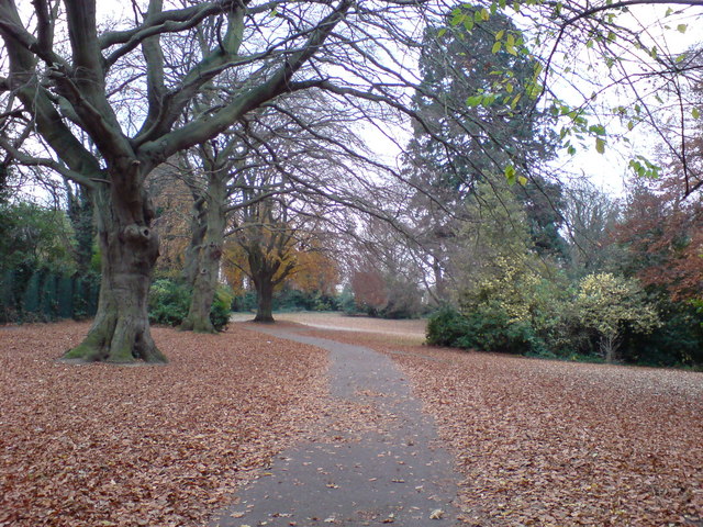
Image: © Danny P Robinson Taken: 18 Nov 2007
This is a small park. there are no signs that display a name, nor is one shown on any map I've seen. My guess is that it is owned by the Ministry of Defence, not the local council. To the left, behind the green fence, are some sunken fortifications -- this entire area is full of ditches, tunnels and other defensive positions built over many years.
Images are licensed for reuse under creativecommons.org/licenses/by-sa/2.0
Image Location
Latitude
51.388218
Longitude
0.529531