Drovers House
Introduction
The photograph on this page of Drovers House by Ian Capper as part of the Geograph project.
The Geograph project started in 2005 with the aim of publishing, organising and preserving representative images for every square kilometre of Great Britain, Ireland and the Isle of Man.

There are currently over 7.5m images from over 14,400 individuals and you can help contribute to the project by visiting https://www.geograph.org.uk
Drovers House
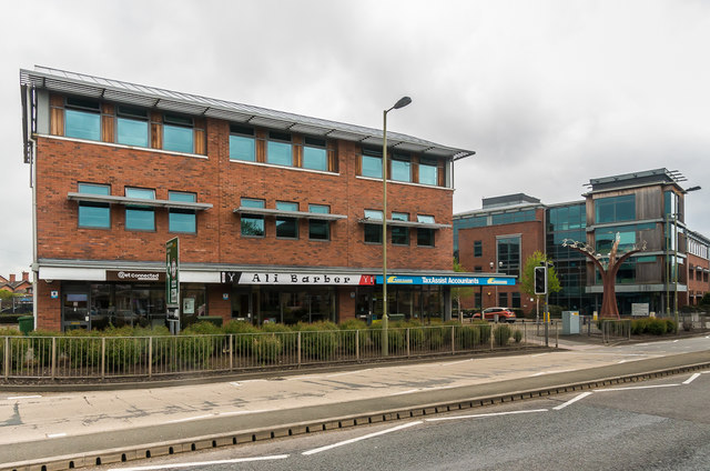
Image: © Ian Capper Taken: 6 May 2017
Mixed retail/residential building built on part of what was the former livestock market.
Images are licensed for reuse under creativecommons.org/licenses/by-sa/2.0
Image Location
Latitude
52.439755
Longitude
-2.835501