Monks Siding Level Crossing
Introduction
The photograph on this page of Monks Siding Level Crossing by Stephen McKay as part of the Geograph project.
The Geograph project started in 2005 with the aim of publishing, organising and preserving representative images for every square kilometre of Great Britain, Ireland and the Isle of Man.

There are currently over 7.5m images from over 14,400 individuals and you can help contribute to the project by visiting https://www.geograph.org.uk
Monks Siding Level Crossing
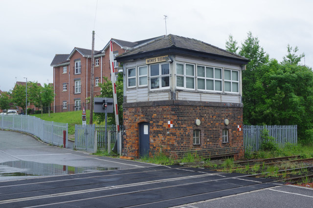
Image: © Stephen McKay Taken: 30 May 2019
The level crossing here gives access to a modern housing estate sandwiched between the railway and the River Mersey. The railway itself is a freight only line nowadays carrying only a handful of trains each day although at one time it was heavily used as a route for coal to Fiddlers Ferry power station.
Images are licensed for reuse under creativecommons.org/licenses/by-sa/2.0
Image Location
Latitude
53.384647
Longitude
-2.615169