Benchmark on Whiteshill milestone
Introduction
The photograph on this page of Benchmark on Whiteshill milestone by Neil Owen as part of the Geograph project.
The Geograph project started in 2005 with the aim of publishing, organising and preserving representative images for every square kilometre of Great Britain, Ireland and the Isle of Man.

There are currently over 7.5m images from over 14,400 individuals and you can help contribute to the project by visiting https://www.geograph.org.uk
Benchmark on Whiteshill milestone
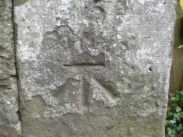
Image: © Neil Owen Taken: 30 May 2019
A cutmark, as listed in the Benchmark Database: https://www.bench-marks.org.uk/bm84752 on a milestone close to the White Horse Inn. See Image] for a wider look.
Images are licensed for reuse under creativecommons.org/licenses/by-sa/2.0
Image Location
Latitude
51.508981
Longitude
-2.513922