Lynnhouse Farm
Introduction
The photograph on this page of Lynnhouse Farm by Stephen Craven as part of the Geograph project.
The Geograph project started in 2005 with the aim of publishing, organising and preserving representative images for every square kilometre of Great Britain, Ireland and the Isle of Man.

There are currently over 7.5m images from over 14,400 individuals and you can help contribute to the project by visiting https://www.geograph.org.uk
Lynnhouse Farm
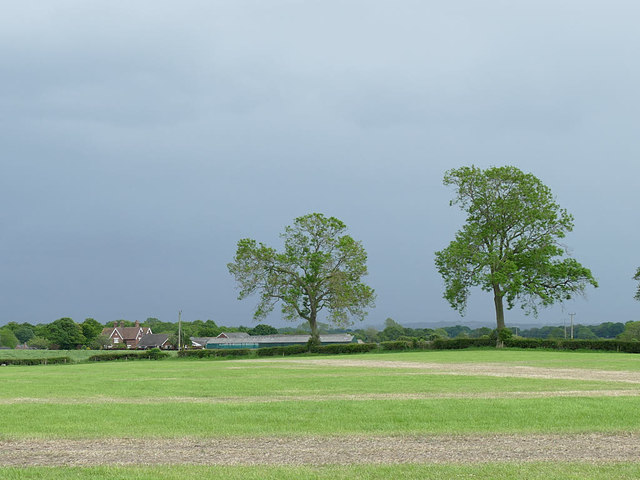
Image: © Stephen Craven Taken: 27 May 2019
Viewed from a field off Newcastle Road (not normally a public place, but the field was being used as the car park for a public event on this occasion). See Image for a closer view of the farm buildings.
Images are licensed for reuse under creativecommons.org/licenses/by-sa/2.0
Image Location
Latitude
53.126633
Longitude
-2.29421