Public footpath & private road, near Stone, Worcs
Introduction
The photograph on this page of Public footpath & private road, near Stone, Worcs by P L Chadwick as part of the Geograph project.
The Geograph project started in 2005 with the aim of publishing, organising and preserving representative images for every square kilometre of Great Britain, Ireland and the Isle of Man.

There are currently over 7.5m images from over 14,400 individuals and you can help contribute to the project by visiting https://www.geograph.org.uk
Public footpath & private road, near Stone, Worcs
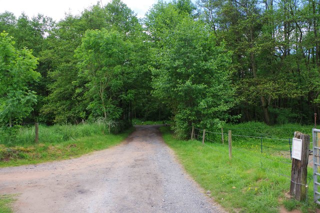
Image: © P L Chadwick Taken: 27 May 2019
The public footpath runs along this private road and continues along Dunclent Lane, which is in the far distance. On the left is the entrance to a farm track where a public footpath to the village of Harvington, near Kidderminster, commences.
Images are licensed for reuse under creativecommons.org/licenses/by-sa/2.0
Image Location
Latitude
52.376283
Longitude
-2.204288