Farm track and public footpath to Harvington, near Stone, Worcs
Introduction
The photograph on this page of Farm track and public footpath to Harvington, near Stone, Worcs by P L Chadwick as part of the Geograph project.
The Geograph project started in 2005 with the aim of publishing, organising and preserving representative images for every square kilometre of Great Britain, Ireland and the Isle of Man.

There are currently over 7.5m images from over 14,400 individuals and you can help contribute to the project by visiting https://www.geograph.org.uk
Farm track and public footpath to Harvington, near Stone, Worcs
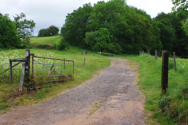
Image: © P L Chadwick Taken: 27 May 2019
A public footpath to the village of Harvington, near Kidderminster, commences over this farm track then continues to the village. There is a food orientated public house there called The Dog Inn. Image
Images are licensed for reuse under creativecommons.org/licenses/by-sa/2.0
Image Location


Leaflet Map data © OpenStreetMap
Latitude
52.376374
Longitude
-2.203701