Walled garden
Introduction
The photograph on this page of Walled garden by Lairich Rig as part of the Geograph project.
The Geograph project started in 2005 with the aim of publishing, organising and preserving representative images for every square kilometre of Great Britain, Ireland and the Isle of Man.

There are currently over 7.5m images from over 14,400 individuals and you can help contribute to the project by visiting https://www.geograph.org.uk
Walled garden
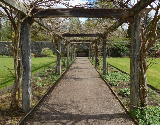
Image: © Lairich Rig Taken: 26 Apr 2019
The picture was taken from a point just west of the centre of the garden.
Images are licensed for reuse under creativecommons.org/licenses/by-sa/2.0
Image Location
Latitude
56.008986
Longitude
-4.581964