Private road to Dunclent Farm etc., near Stone, Worcs
Introduction
The photograph on this page of Private road to Dunclent Farm etc., near Stone, Worcs by P L Chadwick as part of the Geograph project.
The Geograph project started in 2005 with the aim of publishing, organising and preserving representative images for every square kilometre of Great Britain, Ireland and the Isle of Man.

There are currently over 7.5m images from over 14,400 individuals and you can help contribute to the project by visiting https://www.geograph.org.uk
Private road to Dunclent Farm etc., near Stone, Worcs
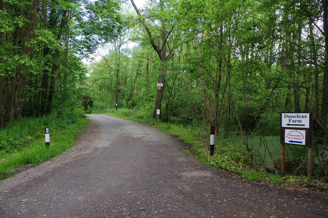
Image: © P L Chadwick Taken: 27 May 2019
This private road, at the end of Dunclent Lane, leads to Dunclent Farm and to Dunclent Boarding Kennels & Cattery. There is a public footpath running along this road.
Images are licensed for reuse under creativecommons.org/licenses/by-sa/2.0
Image Location
Latitude
52.376282
Longitude
-2.204875