Rotherhithe: Former Russia Dock
Introduction
The photograph on this page of Rotherhithe: Former Russia Dock by Nigel Cox as part of the Geograph project.
The Geograph project started in 2005 with the aim of publishing, organising and preserving representative images for every square kilometre of Great Britain, Ireland and the Isle of Man.

There are currently over 7.5m images from over 14,400 individuals and you can help contribute to the project by visiting https://www.geograph.org.uk
Rotherhithe: Former Russia Dock
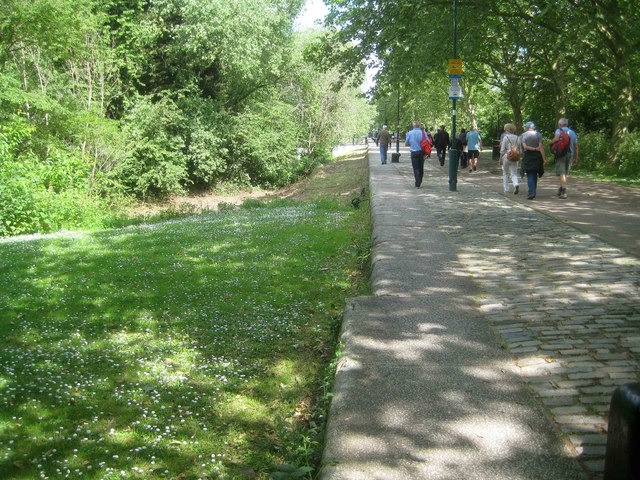
Image: © Nigel Cox Taken: 24 May 2019
This is the stone quayside on the eastern side of the former Russia Dock. Some idea of the size of the original dock can gleaned from the fact that this quayside continues in a straight line from here for nearly 700 metres. The dock was to the left but has since been filled in, landscaped and vegetated as the Russia Dock Woodland.
Images are licensed for reuse under creativecommons.org/licenses/by-sa/2.0
Image Location
Latitude
51.497323
Longitude
-0.039447