Ashlyns Road, Berkhamsted, 1940
Introduction
The photograph on this page of Ashlyns Road, Berkhamsted, 1940 by George W Baker as part of the Geograph project.
The Geograph project started in 2005 with the aim of publishing, organising and preserving representative images for every square kilometre of Great Britain, Ireland and the Isle of Man.

There are currently over 7.5m images from over 14,400 individuals and you can help contribute to the project by visiting https://www.geograph.org.uk
Ashlyns Road, Berkhamsted, 1940
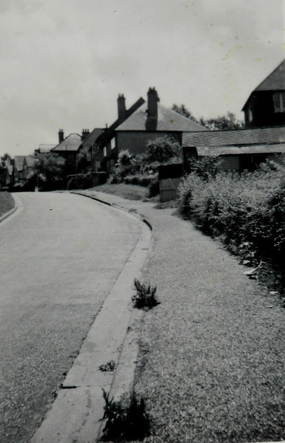
Image: © George W Baker Taken: Unknown
Image is the house (on the far right of the frame). Perhaps the weeds, growing on the pavement, were due to the street cleaner having been called up to support the war effort. Taken by my grandfather George W Baker.
Images are licensed for reuse under creativecommons.org/licenses/by-sa/2.0
Image Location
Latitude
51.756585
Longitude
-0.569987