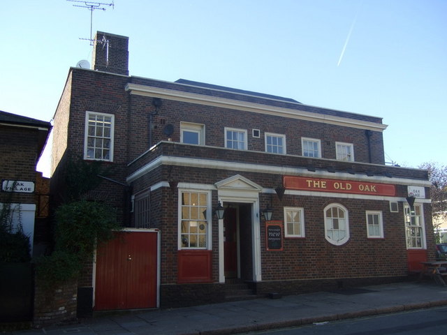
The Old Oak
Introduction
The photograph on this page of The Old Oak by Natasha Ceridwen de Chroustchoff as part of the Geograph project.
The Geograph project started in 2005 with the aim of publishing, organising and preserving representative images for every square kilometre of Great Britain, Ireland and the Isle of Man.
There are currently over 7.5m images from over 14,400 individuals and you can help contribute to the project by visiting https://www.geograph.org.uk

Image: © Natasha Ceridwen de Chroustchoff Taken: 14 Nov 2007
The pub on the corner of Mansfield Road and Oak Village is named for the oak tree under which parishioners gathered to hear an annual gospel reading, before the area began to be developed in the mid-C19. Presumably there was an earlier pub - this one looks mid-C20. Many old oaks were called Gospel Oaks, from the gospels that were preached from beneath their shade or shelter: a continuation of a pre-Christian practice that can be traced back to the earliest times. Gospel oaks also acted as boundary markers with clergy giving biblical readings as part of the traditional annual ceremony of the Beating of the Bounds.

