Current Gravesend end of the former Thames and Medway Canal
Introduction
The photograph on this page of Current Gravesend end of the former Thames and Medway Canal by David Martin as part of the Geograph project.
The Geograph project started in 2005 with the aim of publishing, organising and preserving representative images for every square kilometre of Great Britain, Ireland and the Isle of Man.

There are currently over 7.5m images from over 14,400 individuals and you can help contribute to the project by visiting https://www.geograph.org.uk
Current Gravesend end of the former Thames and Medway Canal
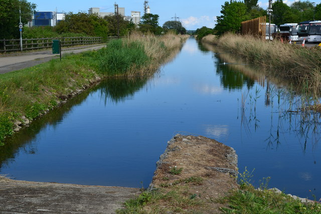
Image: © David Martin Taken: 25 May 2019
The canal originally ended at a basin with a lock into the Thames, now a marina. Approximately 675m of canal from here to the basin have been infilled.
Images are licensed for reuse under creativecommons.org/licenses/by-sa/2.0
Image Location
Latitude
51.441617
Longitude
0.39361