Gubberford Bridge
Introduction
The photograph on this page of Gubberford Bridge by David Dixon as part of the Geograph project.
The Geograph project started in 2005 with the aim of publishing, organising and preserving representative images for every square kilometre of Great Britain, Ireland and the Isle of Man.

There are currently over 7.5m images from over 14,400 individuals and you can help contribute to the project by visiting https://www.geograph.org.uk
Gubberford Bridge
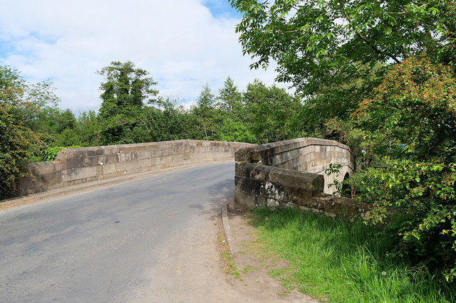
Image: © David Dixon Taken: 24 May 2019
Early nineteenth century sandstone bridge taking Gubberford Lane across the River Wyre near Cabus. It is a Grade II listed building (Historic England List Entry Number: 1309256 https://historicengland.org.uk/listing/the-list/list-entry/1309256 ).
Images are licensed for reuse under creativecommons.org/licenses/by-sa/2.0
Image Location


Leaflet Map data © OpenStreetMap
Latitude
53.919815
Longitude
-2.770403