OS Flush Bracket 12037- Rhiwlas Cottage
Introduction
The photograph on this page of OS Flush Bracket 12037- Rhiwlas Cottage by Richard Law as part of the Geograph project.
The Geograph project started in 2005 with the aim of publishing, organising and preserving representative images for every square kilometre of Great Britain, Ireland and the Isle of Man.

There are currently over 7.5m images from over 14,400 individuals and you can help contribute to the project by visiting https://www.geograph.org.uk
OS Flush Bracket 12037- Rhiwlas Cottage
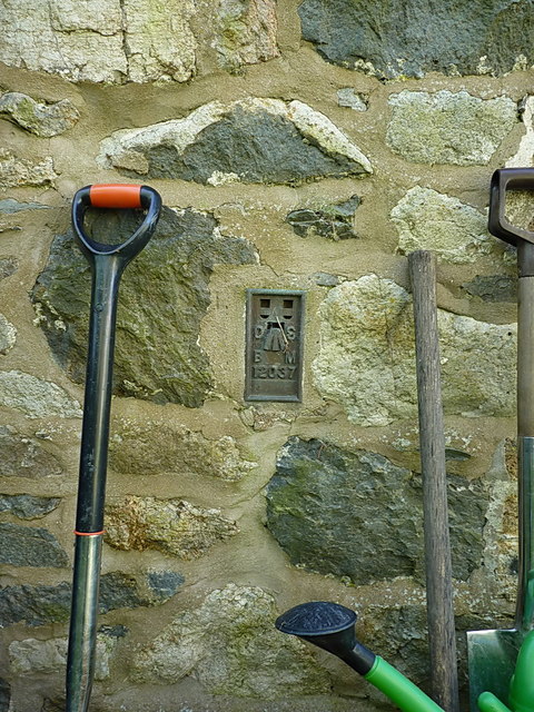
Image: © Richard Law Taken: 15 May 2019
Flush Bracket 12037 located on the far side of the cottage (ie not facing the road), which was originally installed in 1973, and records a point 222.061m above Ordnance Datum Newlyn.
Images are licensed for reuse under creativecommons.org/licenses/by-sa/2.0
Image Location
Latitude
52.82475
Longitude
-3.313213