Demolition of Langcraigs residential care home
Introduction
The photograph on this page of Demolition of Langcraigs residential care home by Lairich Rig as part of the Geograph project.
The Geograph project started in 2005 with the aim of publishing, organising and preserving representative images for every square kilometre of Great Britain, Ireland and the Isle of Man.

There are currently over 7.5m images from over 14,400 individuals and you can help contribute to the project by visiting https://www.geograph.org.uk
Demolition of Langcraigs residential care home
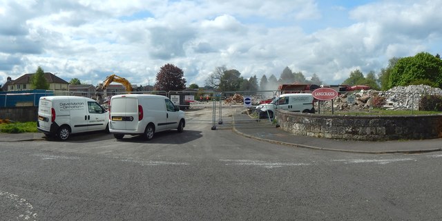
Image: © Lairich Rig Taken: 10 May 2019
Compare the equivalent scene three weeks earlier: Image A new care home is to be built on this site.
Images are licensed for reuse under creativecommons.org/licenses/by-sa/2.0
Image Location
Latitude
55.952661
Longitude
-4.558988