St Ethelbert's, Hereford
Introduction
The photograph on this page of St Ethelbert's, Hereford by Andrew Abbott as part of the Geograph project.
The Geograph project started in 2005 with the aim of publishing, organising and preserving representative images for every square kilometre of Great Britain, Ireland and the Isle of Man.

There are currently over 7.5m images from over 14,400 individuals and you can help contribute to the project by visiting https://www.geograph.org.uk
St Ethelbert's, Hereford
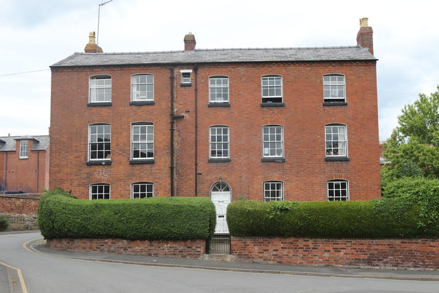
Image: © Andrew Abbott Taken: 25 May 2019
Grade II listed. Listing number 1205870. House. Late C18/early C19 with earlier features.
Images are licensed for reuse under creativecommons.org/licenses/by-sa/2.0
Image Location
Latitude
52.053427
Longitude
-2.714403