Fenced land at Nether Bellandy
Introduction
The photograph on this page of Fenced land at Nether Bellandy by Trevor Littlewood as part of the Geograph project.
The Geograph project started in 2005 with the aim of publishing, organising and preserving representative images for every square kilometre of Great Britain, Ireland and the Isle of Man.

There are currently over 7.5m images from over 14,400 individuals and you can help contribute to the project by visiting https://www.geograph.org.uk
Fenced land at Nether Bellandy
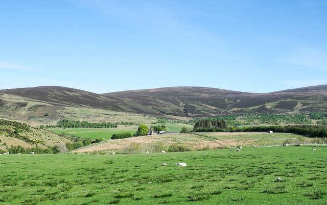
Image: © Trevor Littlewood Taken: 17 May 2019
The farm at Nether Bellandy lies near to the centre of the image between a bright green tree and a darker clump of trees. The land nearer than the farm has been divided into a number of enclosures, all quadrilaterals.
Images are licensed for reuse under creativecommons.org/licenses/by-sa/2.0
Image Location
Latitude
57.38591
Longitude
-3.192812