New canalside housing near the Wolsey chimney
Introduction
The photograph on this page of New canalside housing near the Wolsey chimney by Christine Johnstone as part of the Geograph project.
The Geograph project started in 2005 with the aim of publishing, organising and preserving representative images for every square kilometre of Great Britain, Ireland and the Isle of Man.

There are currently over 7.5m images from over 14,400 individuals and you can help contribute to the project by visiting https://www.geograph.org.uk
New canalside housing near the Wolsey chimney
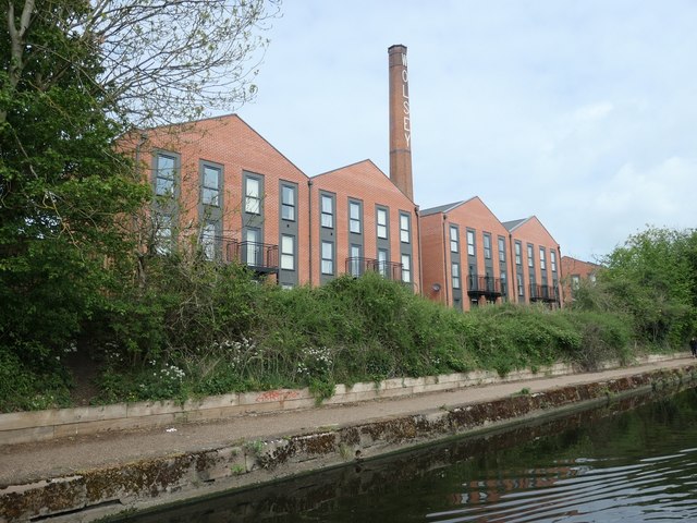
Image: © Christine Johnstone Taken: 5 May 2019
When occupied by the Wolsey textile mills, this area was called Wolsey Island. Now, full of new housing, it is mapped as Abbey Meadows.
Images are licensed for reuse under creativecommons.org/licenses/by-sa/2.0
Image Location
Latitude
52.651781
Longitude
-1.130782