Babbington Village
Introduction
The photograph on this page of Babbington Village by Alan Murray-Rust as part of the Geograph project.
The Geograph project started in 2005 with the aim of publishing, organising and preserving representative images for every square kilometre of Great Britain, Ireland and the Isle of Man.

There are currently over 7.5m images from over 14,400 individuals and you can help contribute to the project by visiting https://www.geograph.org.uk
Babbington Village
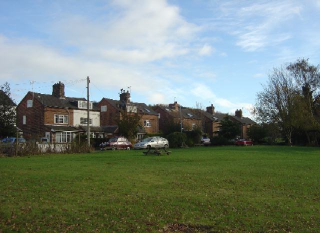
Image: © Alan Murray-Rust Taken: 11 Nov 2007
This consists of just this row of half-a-dozen pairs of old semi-detached houses. These appear to have been built as part of the estate of Babbington Hall, although whether for estate workers or for workers in the old coal mines in the area is unclear. The only access to the village is a private road. The public telephone marked on both the 1:50000 and 1:25000 maps at the time of writing no longer exists.
Images are licensed for reuse under creativecommons.org/licenses/by-sa/2.0
Image Location
Latitude
52.986944
Longitude
-1.268118