Highbury Drive
Introduction
The photograph on this page of Highbury Drive by Ian Capper as part of the Geograph project.
The Geograph project started in 2005 with the aim of publishing, organising and preserving representative images for every square kilometre of Great Britain, Ireland and the Isle of Man.

There are currently over 7.5m images from over 14,400 individuals and you can help contribute to the project by visiting https://www.geograph.org.uk
Highbury Drive
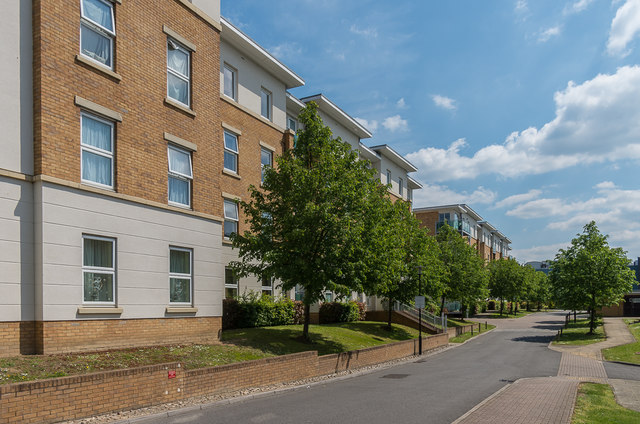
Image: © Ian Capper Taken: 16 May 2019
Development completed in 2006/7 off Randalls Way on the site of the laboratories of the Printing Industry Research Association, Patra House built in 1963 with its extension added in 1971. On the left is Burney House, with Sheridan House beyond.
Images are licensed for reuse under creativecommons.org/licenses/by-sa/2.0
Image Location
Latitude
51.299637
Longitude
-0.335971