Pasture, near Longrutton Gate
Introduction
The photograph on this page of Pasture, near Longrutton Gate by Richard Webb as part of the Geograph project.
The Geograph project started in 2005 with the aim of publishing, organising and preserving representative images for every square kilometre of Great Britain, Ireland and the Isle of Man.

There are currently over 7.5m images from over 14,400 individuals and you can help contribute to the project by visiting https://www.geograph.org.uk
Pasture, near Longrutton Gate
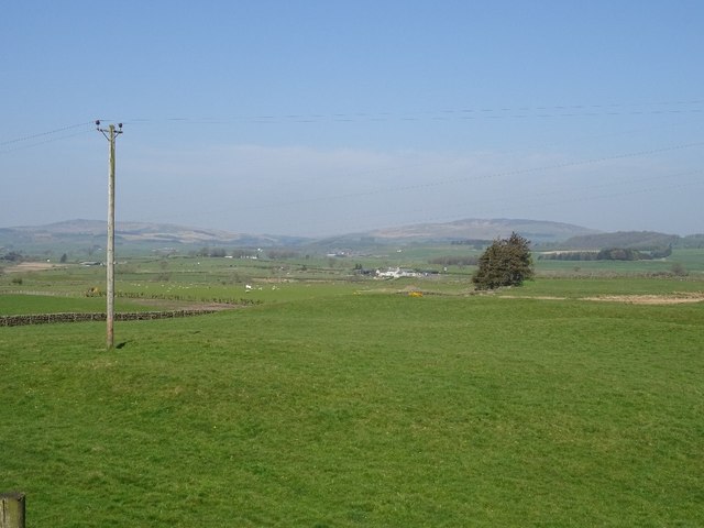
Image: © Richard Webb Taken: 22 Apr 2019
North of the Old Military Road. The A75 is down there somewhere.
Images are licensed for reuse under creativecommons.org/licenses/by-sa/2.0
Image Location
Latitude
55.050089
Longitude
-3.709695