An unsafe load
Introduction
The photograph on this page of An unsafe load by Neil Owen as part of the Geograph project.
The Geograph project started in 2005 with the aim of publishing, organising and preserving representative images for every square kilometre of Great Britain, Ireland and the Isle of Man.

There are currently over 7.5m images from over 14,400 individuals and you can help contribute to the project by visiting https://www.geograph.org.uk
An unsafe load
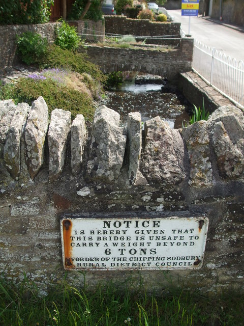
Image: © Neil Owen Taken: 25 May 2019
An old warning sign at the junction of the Old Gloucester Road and, appropriately enough, The Stream.
Images are licensed for reuse under creativecommons.org/licenses/by-sa/2.0
Image Location
Latitude
51.507057
Longitude
-2.522113