Wentworth House, Dunstable
Introduction
The photograph on this page of Wentworth House, Dunstable by David Howard as part of the Geograph project.
The Geograph project started in 2005 with the aim of publishing, organising and preserving representative images for every square kilometre of Great Britain, Ireland and the Isle of Man.

There are currently over 7.5m images from over 14,400 individuals and you can help contribute to the project by visiting https://www.geograph.org.uk
Wentworth House, Dunstable
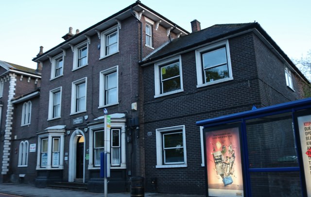
Image: © David Howard Taken: 4 May 2019
It is currently used as offices but has the look of a police station about it.
Images are licensed for reuse under creativecommons.org/licenses/by-sa/2.0
Image Location
Latitude
51.888654
Longitude
-0.524821