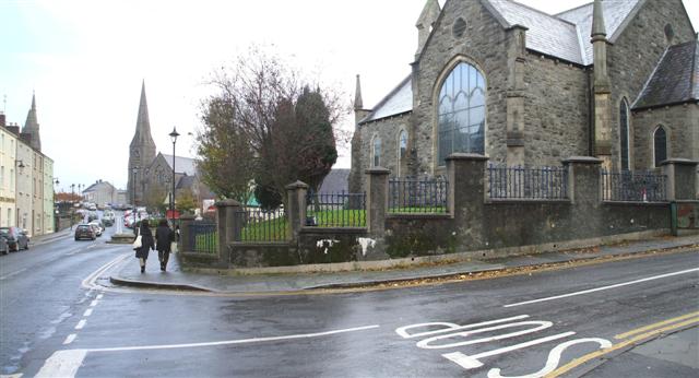
Site of old horse trough, Omagh
Introduction
The photograph on this page of Site of old horse trough, Omagh by Kenneth Allen as part of the Geograph project.
The Geograph project started in 2005 with the aim of publishing, organising and preserving representative images for every square kilometre of Great Britain, Ireland and the Isle of Man.
There are currently over 7.5m images from over 14,400 individuals and you can help contribute to the project by visiting https://www.geograph.org.uk

Image: © Kenneth Allen Taken: 20 Nov 2007
It was located along John Street at the boundary wall of Trinity Presbyterian church, but has long since been removed. There is a picture of it in Dr Haldene Mitchell's "Images of Omagh" book series and also "People of Trinity" book. In the latter it is described as being located at the Bottom of Fairmount Road. This was for the benefit of working horses that had just negotiated the steep hill from the station. The trough had replaced a well that was previously located in the grass bank before the O'Connor Terrace row of houses were built.

