The Bradley Brook upstream
Introduction
The photograph on this page of The Bradley Brook upstream by Neil Owen as part of the Geograph project.
The Geograph project started in 2005 with the aim of publishing, organising and preserving representative images for every square kilometre of Great Britain, Ireland and the Isle of Man.

There are currently over 7.5m images from over 14,400 individuals and you can help contribute to the project by visiting https://www.geograph.org.uk
The Bradley Brook upstream
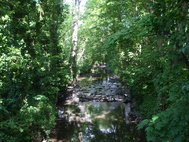
Image: © Neil Owen Taken: 25 May 2019
Slowly trickling over some of the typical geology of the area. Further upstream the sandstone layers are visible on a large scale.
Images are licensed for reuse under creativecommons.org/licenses/by-sa/2.0
Image Location
Latitude
51.508266
Longitude
-2.513049