Derelict building, Carrigans
Introduction
The photograph on this page of Derelict building, Carrigans by Kenneth Allen as part of the Geograph project.
The Geograph project started in 2005 with the aim of publishing, organising and preserving representative images for every square kilometre of Great Britain, Ireland and the Isle of Man.

There are currently over 7.5m images from over 14,400 individuals and you can help contribute to the project by visiting https://www.geograph.org.uk
Derelict building, Carrigans
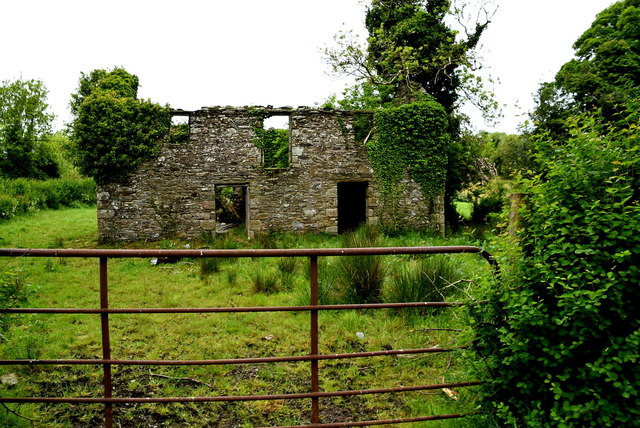
Image: © Kenneth Allen Taken: 25 May 2019
Located along Carrigans Road, the Griffiths Valuation website suggests that Carrigans National School was located near here so I'm wondering if this is it.
Images are licensed for reuse under creativecommons.org/licenses/by-sa/2.0
Image Location
Latitude
54.677028
Longitude
-7.344096