Former BHS
Introduction
The photograph on this page of Former BHS by Ian Capper as part of the Geograph project.
The Geograph project started in 2005 with the aim of publishing, organising and preserving representative images for every square kilometre of Great Britain, Ireland and the Isle of Man.

There are currently over 7.5m images from over 14,400 individuals and you can help contribute to the project by visiting https://www.geograph.org.uk
Former BHS
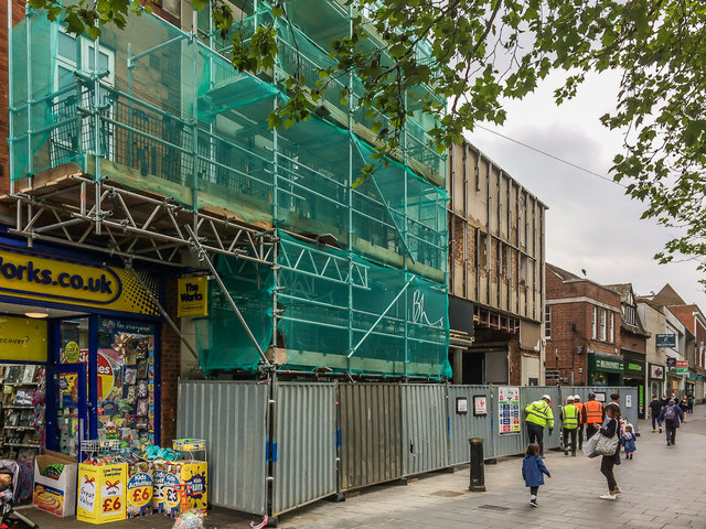
Image: © Ian Capper Taken: 17 May 2019
The former St Albans branch of BHS (see Image) which closed on 28 August 2016, seen here while being demolished for replacement with a hotel.
Images are licensed for reuse under creativecommons.org/licenses/by-sa/2.0
Image Location
Latitude
51.753652
Longitude
-0.337519