Level crossing gate support
Introduction
The photograph on this page of Level crossing gate support by Alan Hughes as part of the Geograph project.
The Geograph project started in 2005 with the aim of publishing, organising and preserving representative images for every square kilometre of Great Britain, Ireland and the Isle of Man.

There are currently over 7.5m images from over 14,400 individuals and you can help contribute to the project by visiting https://www.geograph.org.uk
Level crossing gate support
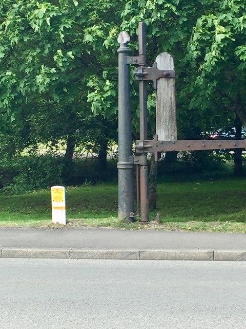
Image: © Alan Hughes Taken: 23 May 2019
This old structure is located where Cemetery Road crossed the railway branch line from Hirwaun to Cwm Dare.
Images are licensed for reuse under creativecommons.org/licenses/by-sa/2.0
Image Location
Latitude
51.723407
Longitude
-3.46579