Watling Street. Old Stratford
Introduction
The photograph on this page of Watling Street. Old Stratford by David Howard as part of the Geograph project.
The Geograph project started in 2005 with the aim of publishing, organising and preserving representative images for every square kilometre of Great Britain, Ireland and the Isle of Man.

There are currently over 7.5m images from over 14,400 individuals and you can help contribute to the project by visiting https://www.geograph.org.uk
Watling Street. Old Stratford
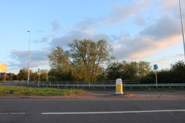
Image: © David Howard Taken: 4 May 2019
At the five-way roundabout heading into Milton Keynes. Being a new town it was built around a trunk road rather than needing a bypass so you can easily use the A5 through the centre and leave it for any of the local communities.
Images are licensed for reuse under creativecommons.org/licenses/by-sa/2.0
Image Location
Latitude
52.066556
Longitude
-0.871429