Roadworks at the end of Kings Avenue
Introduction
The photograph on this page of Roadworks at the end of Kings Avenue by Bill Boaden as part of the Geograph project.
The Geograph project started in 2005 with the aim of publishing, organising and preserving representative images for every square kilometre of Great Britain, Ireland and the Isle of Man.

There are currently over 7.5m images from over 14,400 individuals and you can help contribute to the project by visiting https://www.geograph.org.uk
Roadworks at the end of Kings Avenue
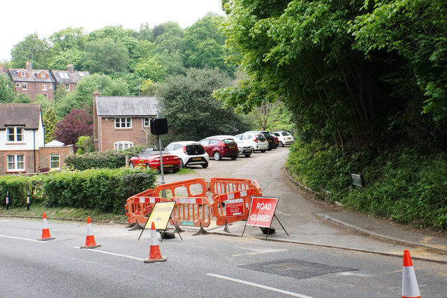
Image: © Bill Boaden Taken: 17 May 2019
Fortunately for the residents, there is another way round via Fairlawn Drive. Pendleton Road in the foreground is reduced to a traffic-light-controlled single lane.
Images are licensed for reuse under creativecommons.org/licenses/by-sa/2.0
Image Location
Latitude
51.229939
Longitude
-0.176878