Bridleway to Hainault Forest
Introduction
The photograph on this page of Bridleway to Hainault Forest by Glyn Baker as part of the Geograph project.
The Geograph project started in 2005 with the aim of publishing, organising and preserving representative images for every square kilometre of Great Britain, Ireland and the Isle of Man.

There are currently over 7.5m images from over 14,400 individuals and you can help contribute to the project by visiting https://www.geograph.org.uk
Bridleway to Hainault Forest
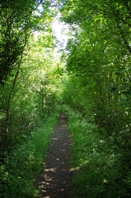
Image: © Glyn Baker Taken: 23 May 2019
This 659m long bridleway is PROW 194_18 it runs from Manor Rd to the junction with Bridleway PROW 194_31 in the Forest.
Images are licensed for reuse under creativecommons.org/licenses/by-sa/2.0
Image Location
Latitude
51.633357
Longitude
0.141987