Roding Revisited
Introduction
The photograph on this page of Roding Revisited by Glyn Baker as part of the Geograph project.
The Geograph project started in 2005 with the aim of publishing, organising and preserving representative images for every square kilometre of Great Britain, Ireland and the Isle of Man.

There are currently over 7.5m images from over 14,400 individuals and you can help contribute to the project by visiting https://www.geograph.org.uk
Roding Revisited
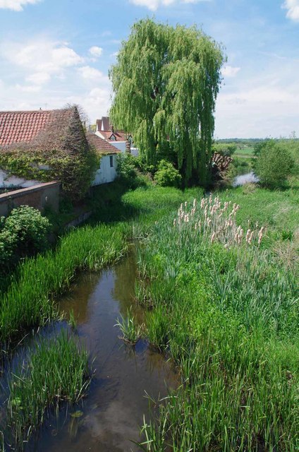
Image: © Glyn Baker Taken: 23 May 2019
Not much has changed in the nine years since my last visit see Image a few more reeds but I am glad to report the Image were still present in good numbers.
Images are licensed for reuse under creativecommons.org/licenses/by-sa/2.0
Image Location
Latitude
51.651765
Longitude
0.118712