Highworth buildings [45]
Introduction
The photograph on this page of Highworth buildings [45] by Michael Dibb as part of the Geograph project.
The Geograph project started in 2005 with the aim of publishing, organising and preserving representative images for every square kilometre of Great Britain, Ireland and the Isle of Man.

There are currently over 7.5m images from over 14,400 individuals and you can help contribute to the project by visiting https://www.geograph.org.uk
Highworth buildings [45]
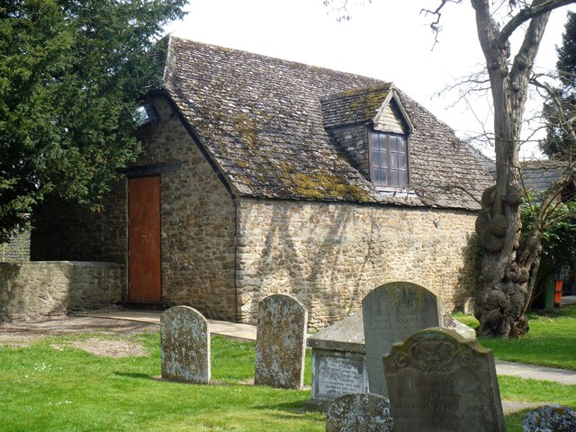
Image: © Michael Dibb Taken: 18 Apr 2019
The church room on the north side of the churchyard was a former coach house and stable probably attached to the adjacent vicarage. Built in the late 18th or early 19th century and listed, grade II, with details at: https://historicengland.org.uk/listing/the-list/list-entry/1023384
Images are licensed for reuse under creativecommons.org/licenses/by-sa/2.0
Image Location


Leaflet Map data © OpenStreetMap
Latitude
51.631136
Longitude
-1.71071