Gorse at Dungeness
Introduction
The photograph on this page of Gorse at Dungeness by Marathon as part of the Geograph project.
The Geograph project started in 2005 with the aim of publishing, organising and preserving representative images for every square kilometre of Great Britain, Ireland and the Isle of Man.

There are currently over 7.5m images from over 14,400 individuals and you can help contribute to the project by visiting https://www.geograph.org.uk
Gorse at Dungeness
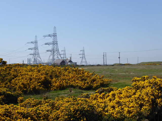
Image: © Marathon Taken: 21 Apr 2019
People either love Dungeness or hate it but on a day like this there is nowhere quite like it. It has the odd pylon because of the two nuclear power stations - one active and one being decommissioned. The gorse at this time was in full bloom.
Images are licensed for reuse under creativecommons.org/licenses/by-sa/2.0
Image Location


Leaflet Map data © OpenStreetMap
Latitude
50.915381
Longitude
0.966216