Outfall to the canal
Introduction
The photograph on this page of Outfall to the canal by Stephen Craven as part of the Geograph project.
The Geograph project started in 2005 with the aim of publishing, organising and preserving representative images for every square kilometre of Great Britain, Ireland and the Isle of Man.

There are currently over 7.5m images from over 14,400 individuals and you can help contribute to the project by visiting https://www.geograph.org.uk
Outfall to the canal
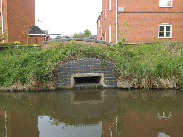
Image: © Stephen Craven Taken: 18 May 2019
There used to be a gasworks on the far bank, so this may have been an industrial effluent outfall. Fortunately the canal is much cleaner now.
Images are licensed for reuse under creativecommons.org/licenses/by-sa/2.0
Image Location


Leaflet Map data © OpenStreetMap
Latitude
52.282851
Longitude
-1.533662