RAF Dunkeswell: a tour of a WW2 airfield - Control Tower (2)
Introduction
The photograph on this page of RAF Dunkeswell: a tour of a WW2 airfield - Control Tower (2) by Mike Searle as part of the Geograph project.
The Geograph project started in 2005 with the aim of publishing, organising and preserving representative images for every square kilometre of Great Britain, Ireland and the Isle of Man.

There are currently over 7.5m images from over 14,400 individuals and you can help contribute to the project by visiting https://www.geograph.org.uk
RAF Dunkeswell: a tour of a WW2 airfield - Control Tower (2)
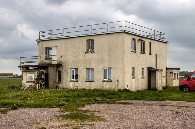
Image: © Mike Searle Taken: 7 May 2019
A short distance east of the tower are the original pundit code letters for RAF Dunkeswell "DW". They can clearly be seen on Google Earth: https://media.geograph.org.uk/files/7eabe3a1649ffa2b3ff8c02ebfd5659f/Dunkeswell-original.jpg Image
Images are licensed for reuse under creativecommons.org/licenses/by-sa/2.0
Image Location
Latitude
50.859705
Longitude
-3.239045